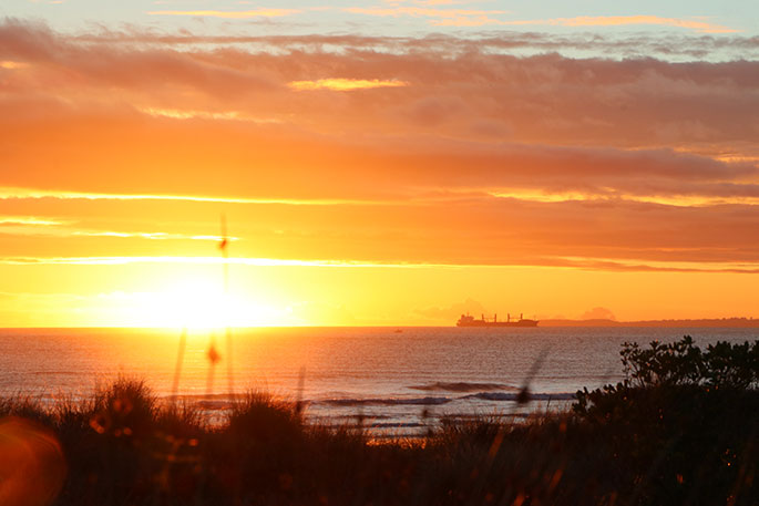
The weekend heat set the third highest ever recorded temperature for November in the Bay of Plenty, says a meteorologist.
Temperatures reached 34.5C in the Bay of Plenty yesterday, with several other places also reaching into the low 30C.
Kawerau Mayor Malcolm Campbell says he hoped the heat would be followed by a bit of rain to cool things down.
"I was in Rotorua [yesterday afternoon], it was 29C over there and soon as we were driving back it was getting hotter and hotter, you could see the temperature going up in the car.
"When we got back here it was registering 34C in my car, and don't mind a little bit of hot weather but we certainly need rain to come with it too because it will dry fairly smartly."
Today's top temperatures:
— NIWA Weather (@NiwaWeather) November 3, 2019
️ Cheviot's temperature is now NZ's 9th warmest November on record.
️ Kawerau's temperature, as reported by our friends @MetService, is good enough for the 3rd warmest November temp all-time. pic.twitter.com/4gPHVjQDwJ
In the South Island, the township of Clyde in Central Otago set a new record for November, while the towns of Windsor and Alexandra set the equal warmest temperatures on record for the month. Behind them was Cheviot, with the ninth warmest temperature on record for the month at 33.1C.
Alexandra Holiday Park owner Janice Graham says it was between "very" and "bloomin' hot".
"It would've been well in the 30s, but that's all right. We can handle that, we got a wee river there for people to swim in and there's been a few down there [yesterday]."
NIWA meteorologist Chris Brandolino says it's unusual to have such a spike in hot weather so early on in November.
He told Morning Report the top 25 hottest temperatures for November have historically been set in the last two weeks of the month.
"All but one [of the top 25] are after the 15th [of November], the one that wasn't was the 12th. So we're talking the second, or third, or fourth of November, we're getting temperatures that are ranking top 10. We're upping the ante a couple of weeks or so from when the previous or current records are."
Warm temperatures pushing across the Tasman Sea from Australia as well as warming globe could some of the factors, says Chris..
"These sorts of things we are seeing now, they are aligned with what our expectations are as we look ahead in many decades."
While there is some concern for drying soil and drought, Chris says the warm temperatures would not last, as many parts of the country could expect heavy rain at the end of the week.
#NewZealand: Heavy weekend rain possible after warmer, drier than normal week ahead (+3 Maps) https://t.co/Dr10t6sn4s via @weatherwatchnz #weather #spring
— WeatherWatch.co.nz (@WeatherWatchNZ) November 3, 2019
"We've got to watch and turn our weather eyes to more active weather. We can see more big rain events, and that comes with an elevated risk for potential flooding, should they materialise.
"So we think by late this week, into the weekend and beyond, it's actually rainfall we've got to be concerned with."
For the outlook further ahead into summer, Mr Brandolino said average to above average temperatures for the next three months could be expected, with a higher chance of that for the eastern parts of the North Island.
Rainfall that's on par or above normal levels could be expected for the eastern and western parts of the South Island, he said.
In the short-term, an active weather front could be expected between mid-November to mid-December, he said.
![]()

0 comments
Leave a Comment
You must be logged in to make a comment.