A short-lived episode of volcanic earthquakes has occurred beneath Mt Ruapehu last Saturday, February 22, and Sunday, February 23.
The earthquake episode has ended, says duty volcanologist Agnes Mazot.
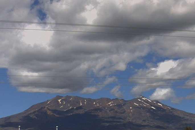
On Saturday, February 22, and Sunday, February 23, GeoNet seismographs detected a sequence of seismic events beneath Mt Ruapehu.
GNS Science volcanologists have categorised them as volcanic earthquakes.
The larger events at the start of the episode are approximately magnitude 1.5 and later, smaller events are too small to be located by GeoNet's earthquake detection-location system.
"The seismic recordings indicate a source beneath the summit area, which is normal for volcanic earthquakes and volcanic tremor at Ruapehu. The sequence now appears to be over.
"The Crater Lake (Te Wai ā-moe) temperature has been around 24-25 ºC for the last few months."
GeoNet monitors Mt Ruapehu via a network of seismic and acoustic sensors, GPS receivers, sensors in the lake and visits to the lake area.
"These include gas flights over Ruapehu for measuring gas emission and a monitoring visit to Te Wai ā-moe to collect water and gas samples as weather allows.
"It is not unusual to observe volcanic earthquakes on Ruapehu and other episodes of increased seismic activity were observed during March 2018, April 2016 and September 2017.
"None of these resulted in a sustained increase in volcanic unrest."
The Volcanic Alert Level, therefore, remains at Level 1.
The Volcanic Alert Level reflects the current level of volcanic activity and is not a forecast of future activity.
There is no change in the Aviation Colour Code from Green.
GNS Science and the National Geohazards Monitoring Centre continues to closely monitor Mt Ruapehu for further signs of activity.

0 comments
Leave a Comment
You must be logged in to make a comment.