Rain may be on the horizon for many holidaymakers over the coming days.
MetService has issued a Severe Thunderstorm Watch for Hawkes Bay, which is valid for six hours from 6pm to midnight.
"This is an alert for the potential of localised downpours around Hawke's Bay this evening," says a MetService spokesperson.
"Between 6pm and midnight tonight - Friday, localised downpours of 25-40mm per hour may affect parts of Hawke's Bay between about Wairoa and Takapau, including the Napier and Hastings urban areas."
MetService says these downpours could occur with or without thunderstorms.
Rainfall of this intensity can cause surface and/or flash flooding, especially about low-lying areas such as streams, rivers or narrow valleys, and may also lead to slips.
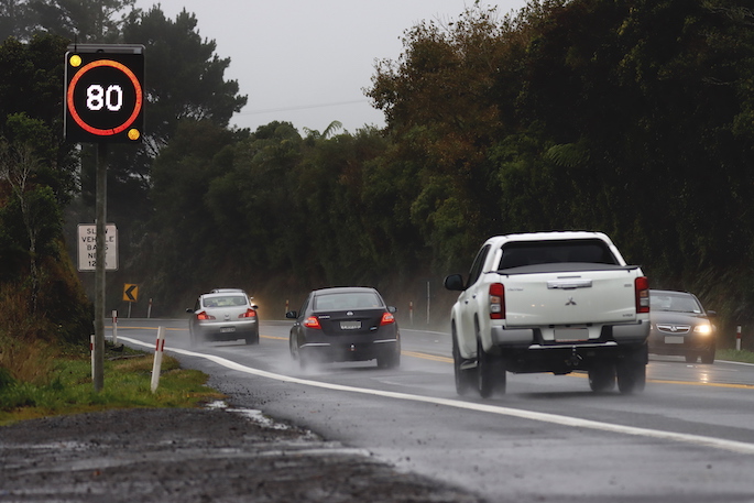
Driving conditions will also be hazardous with surface flooding and poor visibility in heavy rain.
"The downpour risk dies away overnight, but thunderstorms and localised heavy rain are possible about parts of Hawkes Bay again tomorrow afternoon and evening."
MetService forecasts that most parts of the South Island should expect to see periods of rain throughout Friday as a cold front moves north.
Included in that is a rain watch that is in place in Fiordland until midnight.
MetService meteorologist Dom Barry said a rain watch in place in Fiordland on Friday night was associated with a front arriving from the Tasman Sea.
The weather is expected to ease behind the front and fine up for the likes of Fiordland, Central Otago and the Mackenzie Country for Friday afternoon.
In the North Island, the weather is partly cloudy with some isolated showers that are expected to become more frequent today.
On Saturday the sun is expected to return to many parts of the South Island, while in the North Island showers - some thundery in the north-east of the island - are expected to remain.
Dom says on Sunday the conditions were set to fine up for most of the country as another ridge of high pressure made itself at home through to Tuesday.
"The last weekend of the holiday season is shaping up to be a mixed bag; pick your poison for any travelling or tramping that you're doing."
Sunday January 7 2024 The ridge of high pressure builds over the entire country with minimal risk of severe weather. Monday January 8 2024 A ridge of high pressure remains slow moving over New Zealand. Minimal risk of severe weather. Tuesday January 9 2024 A ridge of high pressure remains slow moving over New Zealand. Minimal risk of severe weather. Wednesday January 10 2024 The ridge of high pressure is expected to remain over New Zealand, although slowly moving east and allowing a northerly flow over the South Island. Minimal risk of severe weather.

0 comments
Leave a Comment
You must be logged in to make a comment.