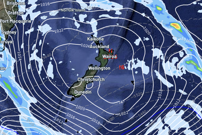
The second week of January is already upon us and is kicking off with an enormous block of high pressure over the country.
It means more light winds, mild to hot days and also mostly dry conditions nationwide, says WeatherWatch.co.nz
Highest risk for showers or cooler and cloudier weather will be in West Coast, coastal Southland and coastal Otago.
El Niño sou'westers continue off and on, bringing cooler air flows to those in the south of NZ and western areas at times too, says the weather organisation.
"But El Niño doesn't mean rain stops for NZ - it tends to encourage hotter and drier weather inland and to the east, and cloudier and often cooler weather to those in the west.
"To some degree this pattern has been forming over the past few weeks with conditions now drier than average along much of the eastern South Island.
"It's now becoming drier in the south, east and north of the North Island - but recent rain events and downpours have given the North Island more rain relief over the past month.
"Northern NZ has been pretty good lately with a mix of dry and some wet weather, but those who rely on rainwater have noticed a drier trend kicking in - but some very heavy downpours have also given pockets of big relief."
What's coming up?
"The high this week does get attacked a few times from the Southern Ocean by colder air - but really the high will push it off the way a professional rugby player can stop a child playing against them!
"This means the West Coast and southern NZ will have cooler airflows in the mix, and some wet weather.
"But high pressure eventually moves through - and behind it there is always the risk of low pressure if the next high is not hot on its heels.
"We are seeing this "obsessive" area of low pressure in the Tasman Sea area and also north of NZ really wanting to move in after this next high.
"It may be another several days away from happening, but it's been showing up in long range rain maps for a few days now."
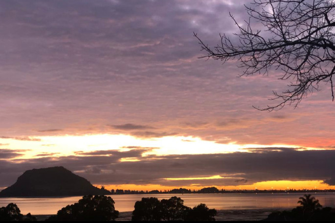
Monday, January 8 - How this week is kicking off!
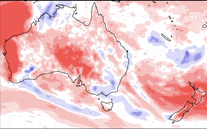
Next 7 days Rainfall - Departure from Normal.
Red/pink = Drier than usual for this time of year
White = Normal rainfall for early to mid January
Blue = Wetter than average.

Areas in orange, gold and red shading are now leaning drier than they should be. This tax funded public soil moisture map looks far more like El Nino than maps did across spring 2023.

0 comments
Leave a Comment
You must be logged in to make a comment.