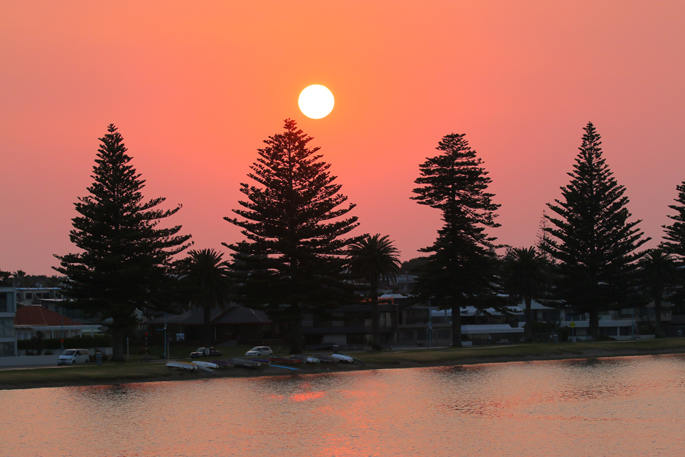
A temperature of 34.6C in north Canterbury on Monday was the hottest so far this summer, but parts of the country could get even hotter in coming days, NIWA says.
“This is just the beginning of an extended period where heat will certainly take centre stage,” says Niwa principal scientist forecasting and media Chris Brandolino.
“We could see some really hot temperatures on Saturday and Sunday across eastern parts of both islands.
“This is a hot spell for sure. Our air is coming from the west and northwest from a warm place... our airflow is coming off the Australian interior.”
He expects the warmest temperature in the next week to be sometime from Thursday to Sunday, and he expects it will top the 34.6C at Hanmer Forest on Monday.
It's most likely to be in the eastern South Island, but he won’t rule out the eastern North Island as a contender.
Interior parts of Hawke’s Bay are somewhere to “watch for some really extreme temperatures” later this week.
“It will be hot today, slightly cooler tomorrow. As we go into Thursday and Friday, boy it’s going to really crank up the heat.
“It will be interesting to see how high we get, certainly temperatures exceeding 35C are a distinct possibility.”
Models are showing Auckland could get to 27C or even 28C on Friday, says Brandolino.
It will also be warm in Waikato, and interior parts of the region “may flirt with 30C” on Friday and Saturday.
There's even a low chance interior parts of Northland could get to 30C.
He expects temperatures could get to 30C or higher in parts of the South Island on Tuesday.
On Wednesday, it's possible the warmest temperatures would be in inland Manawatu, on the interior western side of the North Island, possibly getting to 30C.
To get “next level heat” some wind is needed, and generally that is from the west and northwest. That wind is warm to start with, and picked up heat as it crossed mountains or high ranges into the eastern South Island and Hawke’s Bay.
Eastern areas of the South Island, including north Otago, could approach or exceed 30C on Thursday.
“Thursday looks to be a hot day in the Christchurch area. I would say low 30s.” It will probably turn slightly cooler on Friday.
“I would say near or above 30C is the indication for this weekend for Christchurch,” and the warmest areas of Canterbury could be outside of the city.
The hot spell is going to persist into the weekend, but it looks like temperatures will turn sharply cooler in the South Island on Sunday night into Monday, says Brandolino.
“That change from hot to cool ... will be accompanied by a period of heavy rain and thunderstorms that will probably move north with the southerly change.”
It looks like it will turn briefly cooler over the lower North Island next Tuesday, and temperatures will ease in the upper North Island.
“We have to watch later next week for the beginning of a period where the odds of rain are elevated, including the threat of heavy rain because the air will be coming from the tropics and subtropics.”
Further hot spells are possible after the current run of high temperatures eases, says Brandolino.
“We have more summer ahead of us than behind us.”
The El Niño climate pattern now affecting the weather had so far been atypical, but may start to behave in a more typical way in February and March.
If that were to happen, there could be more westerly winds, they could be stronger, and more hot weather is distinctly possible.

0 comments
Leave a Comment
You must be logged in to make a comment.