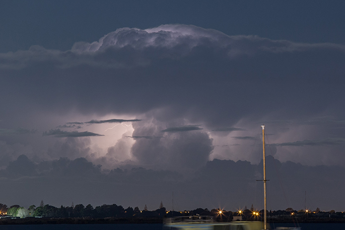
An alert is being issued for the chance of severe thunderstorms later today.
The MetService has issued a severe thunderstorm watch for the Coromandel Peninsula, Waikato, Bay of Plenty, Rotorua and Gisbourne.
"This is an alert for the potential of localised downpours about Coromandel Peninsula, far eastern Waikato, Bay of Plenty (including Rotorua) and the ranges of Gisborne," says the latest update for the weather organisation.
"Between 3pm and midnight tonight, localised downpours of 25-40 mm/h may affect parts of these areas.
"The risk of downpours eases west of Rotorua by 9pm, but continues further east until midnight tonight. These downpours could occur with or without thunderstorms.
"Rainfall of this intensity can cause surface and/or flash flooding, especially about low-lying areas such as streams, rivers or narrow valleys, and may also lead to slips.
"Driving conditions will also be hazardous with surface flooding and poor visibility in heavy rain."
A severe thunderstorm watch means conditions are favourable for severe thunderstorms in and close to the watch area.
"People in these areas should be on the lookout for threatening weather conditions and monitor for possible Severe Thunderstorm Warnings."
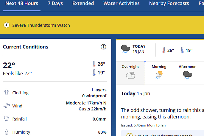
Area: Coromandel Peninsula, Waikato, Bay of Plenty, Rotorua, Gisborne
Valid: 9 hours from 3pm Mon 15 Jan to 12am Tue 16 Jan

0 comments
Leave a Comment
You must be logged in to make a comment.