
The atmosphere is going to have a weekend like a festival-goer – wild on Friday and Saturday but worn out and sedate by Sunday.
MetService is forecasting a strong cold front to move quickly across New Zealand on Friday and Saturday, before a ridge of high pressure arrives on Sunday.
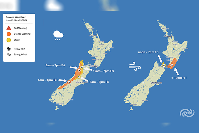
“The front will bring further heavy rain to the South Island’s West Coast. Orange Heavy Rain Warnings have been issued for the Westland, Grey and Buller Ranges during Friday, with Watches for western Tasman and the Nelson Lakes, and the headwaters of rivers in North Canterbury,” says MetService meteorologist Alain Baillie.
“Keep an eye on the MetService Warnings page for updates as the situation unfolds.”
The western South Island received well above average rainfall in January; Milford Sound recorded 1006mm (average 647mm), Haast received 449mm (248mm) and Hokitika 359mm (212mm).
“By Friday afternoon, northwesterly winds ahead of the front are forecast to reach severe gale in central areas of New Zealand, with gusts of 120 km/h in exposed parts of Wellington and Wairarapa.”
An Orange Strong Wind Warning for those areas runs from 1pm to 9pm on Friday, with a Watch for the Marlborough Sounds from noon to 7pm Friday.
“Saturday will be wet and windy across the country, but conditions should ease in the evening. These strong winds do bring the potential for some tricky driving conditions, especially on our exposed roads like the Auckland Harbour Bridge, so are worth factoring in for your travel plans over the weekend. They also bring the possibility for large waves along the western coastlines of the North and South Island.
“Saturday will also be quite cool for the time of year, with maximum temperatures in the mid-to-high teens in Otago and Southland, 4 to 6 degrees Celsius below average. Taumarunui and Taupō are forecast to reach only 17°C, 6 to 8°C below average.”
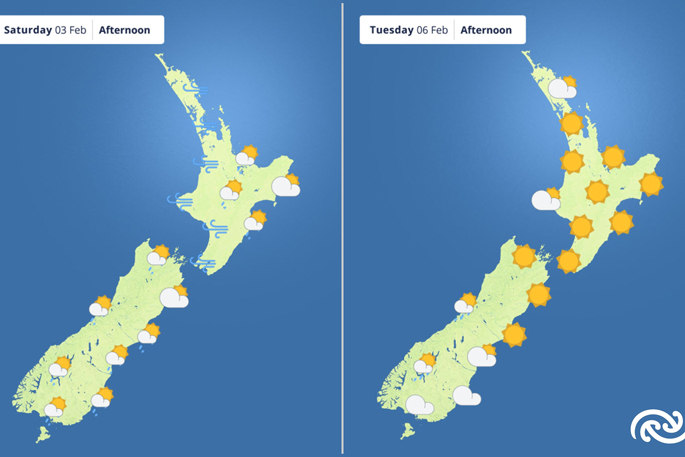
By Sunday, the front will have cleared to the east and a large area of high pressure begins to dominate our weather into next week.
Hot conditions return to the eastern South Island on Monday, with Blenheim and Ashburton expected to reach 32°C and Christchurch 30°C.
Sneaking a peek at Waitangi Day, Alain says, “It should be fine and warm for most New Zealanders – hot again for Marlborough and Canterbury. However, those south of Dunedin should prepare for a damp Waitangi Day.”
 Images: MetService.

0 comments
Leave a Comment
You must be logged in to make a comment.