A severe thunderstorm watch issued for Bay of Plenty, Rotorua and Coromandel remains in place this morning.
In an updated statement, the MetService says a front will move eastwards over the North Island during today, bringing a period of heavy rain.
"There is mostly a low to moderate risk of thunderstorms with the frontal rain as it moves over the north of the North Island.
"However, there is moderate risk of localised downpours affecting eastern Auckland this morning, about the Coromandel Peninsula, Waikato, eastern Waitomo, Taupo, Bay of Plenty about and west of Whakatane this morning and afternoon, and about Bay of Plenty east of Whakatane and northern Tairawhiti/Gisborne this afternoon, evening and night.
"This Watch is for the potential of localised downpours of 25 to 40 mm/h in these areas.
"Rainfall of this intensity can cause surface and/or flash flooding, especially about low-lying areas such as streams, rivers or narrow valleys, and may also lead to slips.
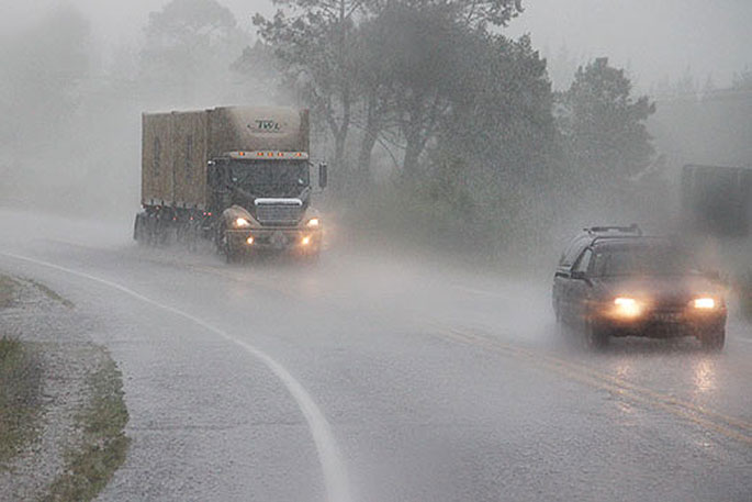
"Driving conditions will also be hazardous with surface flooding and poor visibility in heavy rain."
It's a windy and wet looking Friday for many of us. Here's a quick look at the forecast for today.
Check out those temperatures down south as well. It was 28°C in Christchurch on Wednesday, just 14°C today! pic.twitter.com/IrDeRTAsXx— MetService (@MetService) April 11, 2024
MetService's weather predictions for the day.
Note: A Severe Thunderstorm Watch means conditions are favourable for severe thunderstorms in and close to the watch area.
People in these areas should be on the lookout for threatening weather conditions and monitor for possible Severe Thunderstorm Warnings.

0 comments
Leave a Comment
You must be logged in to make a comment.